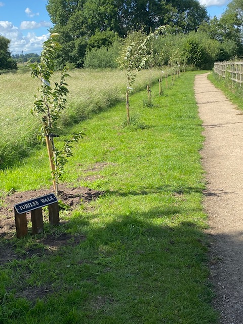
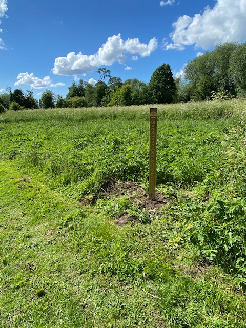
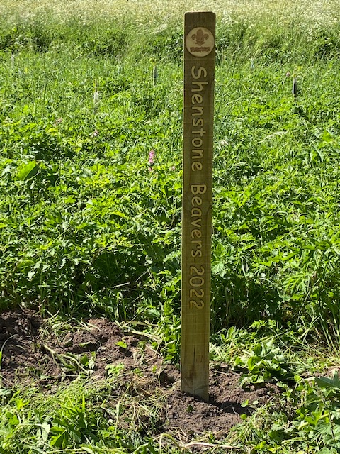
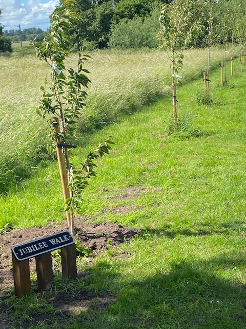
11.06.22 – New Jubilee Walk sign and Beaver’s plantation

The Lammas Land Management Committee was set up in 1999 to “lightly manage” this natural area. This we have endeavoured to do with regular cutting, some tree planting and provision of a stone path through the site. For more information please contact Richard Partridge on 01543 481102
Management Committee A.G.M. – May 2019: Much work has been done by volunteers during the last 12 months. Link to the minutes from the AGM
The Lammas land is an area of natural green space bounded by Bourne Brook, which runs along its northern side, and Footherly Brook on its Western side. It was originally “common land with grazing rites” and dates back to the middle ages when grazing was only permitted after the crops had been harvested – from Lammas Day (1st August) to Candlemas (1st February).


![]()
![]()
The path to the land from Pinfold Hill is along the old ‘drift road’ which originally crossed private fields, and now crosses the Millbrook housing estate. It can be seen that this has been worn away, below the level of the base of the hedges on either side, by long usage by herds of beasts moving to and fro.
In late 1998 the Parish Council held a public meeting to enable the villagers to air their views on the future of the land and with the aim of setting up a management committee. The overwhelming views were to keep it much in its current state as a lightly managed natural area. This we have endeavoured to do with regular cutting, some tree planting and provision of a stone path through the site.
We have now created a number of areas with different characters. Starting at the Birmingham Road end, the first section is a lightly wooded area, passing into an open area in which we are trying to develop a waterside flower meadow, then passing on to a narrow, winding, stream-side path. This then leads to an open hay meadow, which extends up to the railway. Passing under the railway the path leads to the Little Holmes, an area of a wilder and overgrown nature extending to Lynne Lane opposite the railway station.